We add more to this page every month, please check back often!
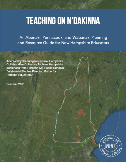
This guide for educators adapts a similar guide created in Portland, ME, for New Hampshire audiences. It’s designed to provide an easy, centralized place to find guidance in introducing Indigenous content and pedagogy into the classroom. It offers important tools for resource evaluation, a list of basic “Do’s and Don’ts,” and suggests pre-vetted classroom resources, including dozens of ready-made lesson plans, picture books, films, and more. While the document is tailored to educators teaching within the boundaries of New Hampshire, its contents may be applicable to those teaching and learning throughout N’dakinna, which also includes parts of Massachusetts, Vermont, and Maine.
13 Moons Unit: Lesson Plans
- Introductory Lesson
- Moon 1: Alamikos — Greetings Maker/Forgiveness Moon
- Moon 2: Pia8dagos — Falling Branch Moon
- Moon 3: Mozokas — Moose Hunter Moon
- Moon 4: Sogalikas — Sugar Maker Moon — Maple Syrup Snow Cones
- Moon 5: Sigwankas — Spring Maker Moon
- Moon 6: Kikas — Field Maker/Planter Moon
- Moon 7: Nakkahigas/Mskikoikas — The Hoer/Strawberry Moon
- Moon 8: Zataikas — The Blueberry Moon
- Moon 9: Temaskikos — Gathering and Harvesting Moon
- Moon 10: Skamonkas — Corn Harvest Moon see this link
- Moon 11: Penibagos — Leaf Falling Moon
- Moon 12: Mzatanos — Freezing River Moon
- Moon 13: Pebonkas — Winter Moon
An Indigenous Tour of Lake Winnipesaukee
Instructional Videos for Activities
Indigenous Peoples’ Day Fact Sheet
FACT CHECK on 2018 Columbus Day Proclamation
Report on INHCC Presentation at Cornerstone Hampton Assisted Living Facility
Map of N’Dakinna (Our Homelands)
Please credit/source these resources as made/created by Indigenous New Hampshire Collaborative Collective (INHCC).
Maps
In the 17th century, the Northeast was densely populated by Wabanaki peoples. These map, created by a local historian, David P. Miller, depicts the Late Woodland Era communities once located in what we know as the states of New Hampshire and Maine. The land at this time would not have been divided into towns, counties, and states. The maps below displays an interpretation of what may have been the approximate location of Indigenous villages before settler colonial contact. These maps also shows important geographical features such as rivers, falls, and mountains. As a guide, the maps have a key listing the city locations we are familiar with today to compare roughly where these Indigenous communities and these land features were in the 1600s. Each map is also accompanied by a document with Abenaki place names.
Lake Winnianebiskek map
Lake Winnianebiskek accompanying document
Merrimac River watershed map
Merrimac River accompanying document
Piscataqua River watershed map
Piscataqua River accompanying document
Please credit these resources as created by David P. Miller.
